River Ness closed to paddlers at Rail Bridge 22nd/ 23rd July

River Ness closed to paddlers at Rail Bridge 22nd/ 23rd July

Mon 13 Jul 2015

Due to a Network Rail underwater inspection, the waters underneath the Rail Bridge over the River Ness at Inverness will be closed to paddlers on 22nd and 23rd July 2015. On these days there will be a safety line strung across the full span of the upstream face of the the bridge, making navigation by paddlers impossible.

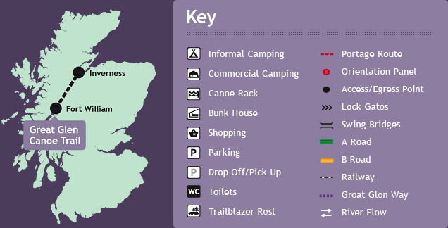
Trail Map

Trail Guide Map

map of scotland showing the trail

60 miles in 5 days

It is an epic 60 mile (95km) journey crossing Scotland in 5 days and conquering the formidable open waters of Loch Lochy and Loch Ness, a challenge in itself.

From South to North

It is normally easier to paddle the Trail from Fort William in the west to Inverness in the east with the prevailing wind behind you.

Download the map