History of the Caledonian Canal
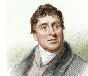
The Caledonian Canal is an engineering marvel. Creating a canal across the heart of the Scottish Highlands from coast to coast was the idea of Thomas Telford. Born in 1757 in the parish of Westerkirk near Lagholm, Dumfriesshire, Telford was commissioned by the government to give an objective opinion on improving Highland communications.
The Government's intentions were fourfold:
- to find promising fishing stations
- to see if a canal from east to west coast was practical
- to find suitable harbours in the north-east for trading with the Baltic and use by the Royal Navy
- to establish 'a safe and convenient intercourse between the Mainland of Scotland and the Islands'
Started in 1803, the Caledonian Canal project was budgeted at £474,531 plus £15,000 for land purchases. A year later they were asked to estimate the cost of making the canal big enough to accommodate the 32-gun and 44-gun frigates of the Royal Navy. With £20,000 allocated for preparatory works and £50,000 a year after that, the canal project was programmed to take 10 years.
The section of canal from Inverness to Loch Ness was opened in the summer of 1818. This allowed the progress of the canal to move quicker as building materials could be brought up from Inverness to Fort Augustus more easily and cheaply.
Finally completed in 1822, the canal has more recently become a popular attraction for visitors and recreation users however is still run and used as a working waterway by Scottish Canals.


